
Monitor Your Crops with Precision Technology
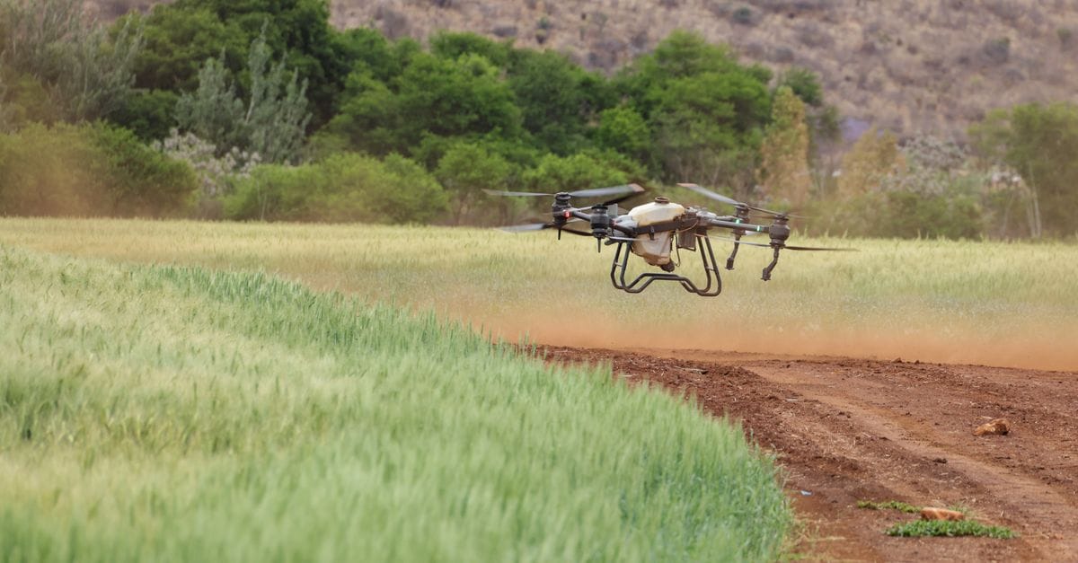
CropSight Technologies delivers real-time field insights through advanced drone imaging and intelligent analytics, helping growers detect problems early and maximize yields season after season.
CropSight Technologies meets the highest industry standards for precision agriculture technology.


Precision Agriculture That Drives Real Results
CropSight Technologies delivers actionable field intelligence through cutting-edge drone technology and advanced imaging systems.
Advanced Aerial Monitoring
High-resolution drone imaging captures every detail of your fields, revealing crop health patterns invisible from ground level.
Real-Time Field Analytics
Transform raw data into actionable insights with our intelligent analytics platform that tracks changes season over season.
Early Problem Detection
Identify pest infestations, disease outbreaks, and nutrient deficiencies days before they become visible to the naked eye.
Precision Irrigation Mapping
Optimize water usage with thermal imaging that pinpoints areas of moisture stress and irrigation inefficiencies across your acreage.
Cloud-Based Data Access
Access your field data anytime, anywhere with secure cloud storage and intuitive mobile apps for on-the-go decision making.
Season-to-Season Tracking
Build a comprehensive history of your fields to identify trends, optimize practices, and maximize yields year after year.
Advanced Agricultural Drone Services & Technology
Comprehensive precision agriculture solutions designed to maximize crop health, optimize yields, and reduce operational costs through cutting-edge aerial intelligence.
High-Resolution RGB Mapping
Crystal-clear aerial photography creates detailed field maps for stand counts, growth stage monitoring, and visual record keeping.
Crop Health Monitoring
Regular aerial surveys capture multispectral imagery to detect stress, disease, and nutrient deficiencies before they're visible to the naked eye.
Precision Irrigation Mapping
Identify irrigation inefficiencies and water distribution patterns with thermal imaging to optimize water usage and reduce costs.
Field Scouting & Damage Assessment
Rapid aerial inspection of large acreage to assess storm damage, pest infestations, or equipment issues with detailed visual documentation.
NDVI Vegetation Analysis
Normalized Difference Vegetation Index imaging reveals plant health variations across your fields with actionable color-coded maps.
Thermal Imaging System
Advanced thermal sensors detect temperature variations that indicate water stress, disease hotspots, and equipment malfunctions.
CropSight Intelligence Platform
Cloud-based dashboard transforms raw drone data into actionable insights with historical comparisons, trend analysis, and prescription maps.
Season-to-Season Reporting
Comprehensive analytics track field performance over multiple growing seasons to identify patterns and optimize long-term strategies.
Variable Rate Application Maps
Generate prescription maps for variable rate seeding, fertilization, and chemical application to maximize efficiency and minimize waste.
Seasonal Monitoring Package
Four scheduled flights throughout the growing season with full imaging suite and analytics. Perfect for proactive crop management.
On-Demand Flight Service
Flexible scheduling for urgent scouting needs or targeted problem areas. Same-week service availability with rapid data delivery.
Agronomist Consultation
Expert interpretation of your drone data with personalized recommendations from certified agronomists who understand your region.
Precision Agriculture Through Advanced Technology
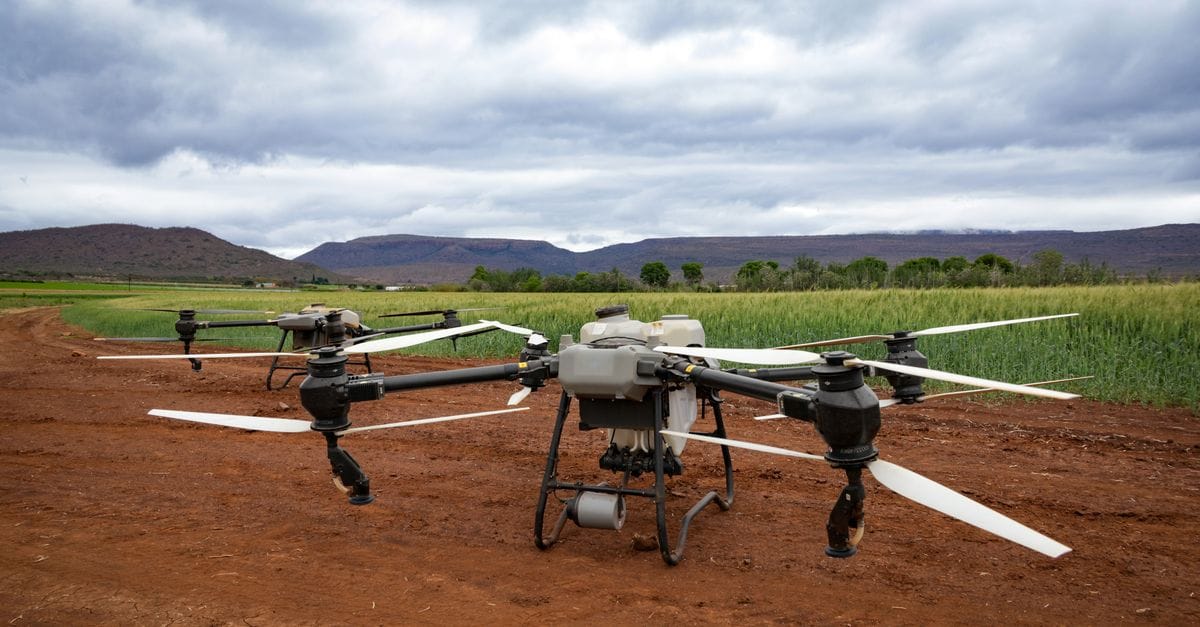
CropSight Technologies was founded by agronomists and engineers who saw farmers struggling with reactive crop management. We developed a comprehensive drone-based monitoring system that gives growers real-time field intelligence, helping them detect disease, stress, and nutrient deficiencies before they become costly problems.
Our mission is to empower every farmer with the tools to make data-driven decisions, increase yields, and farm more sustainably from season to season.
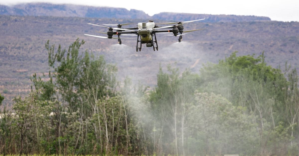
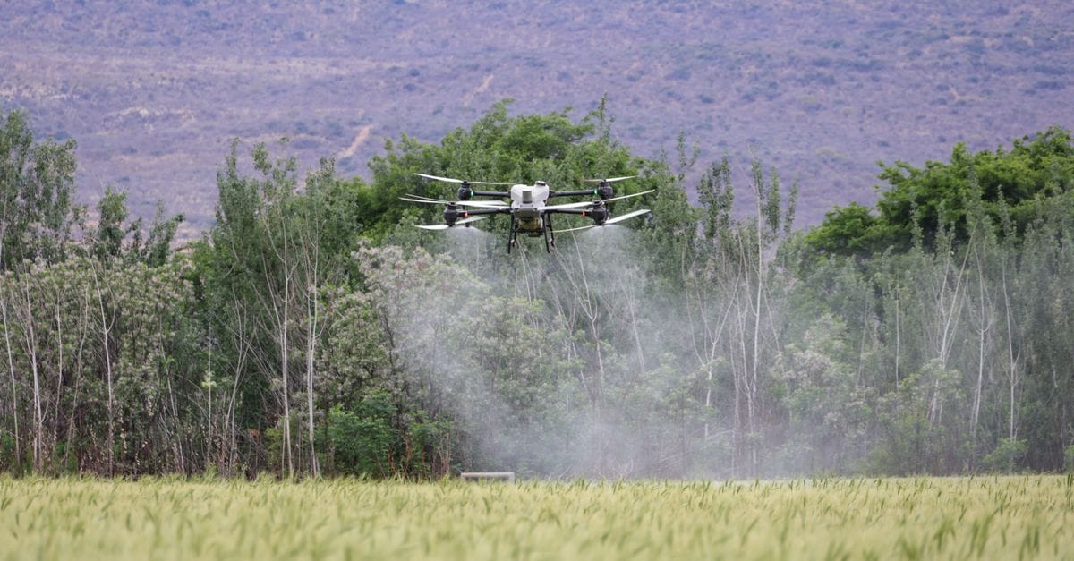
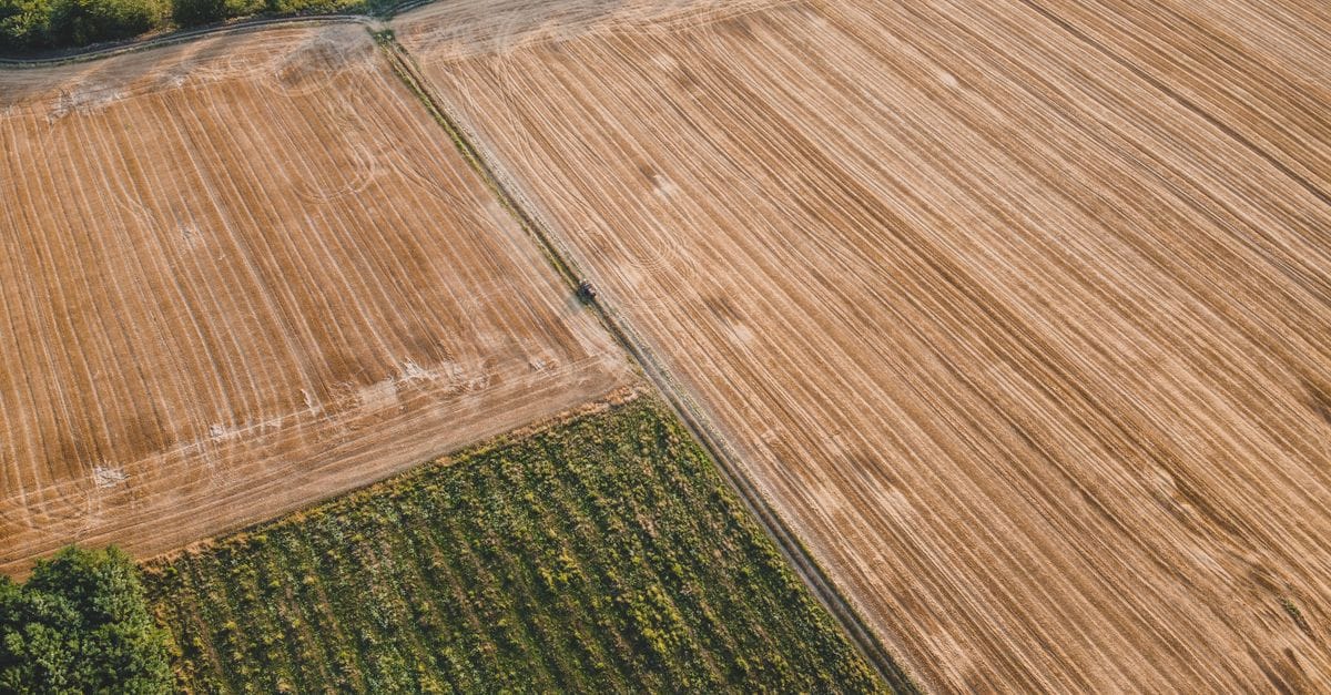
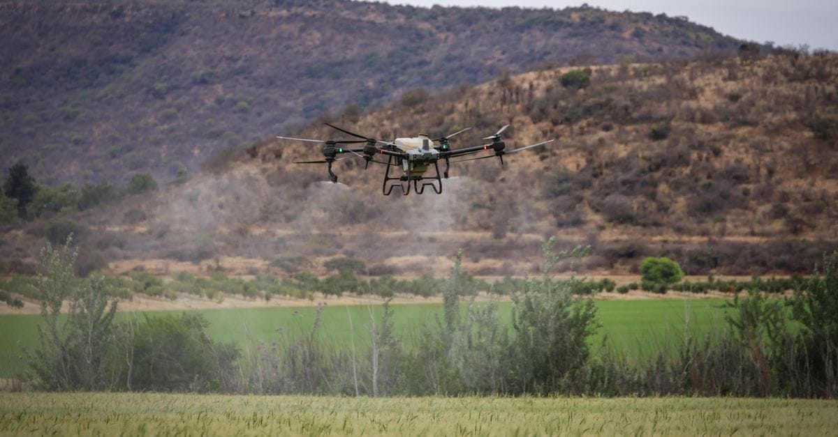
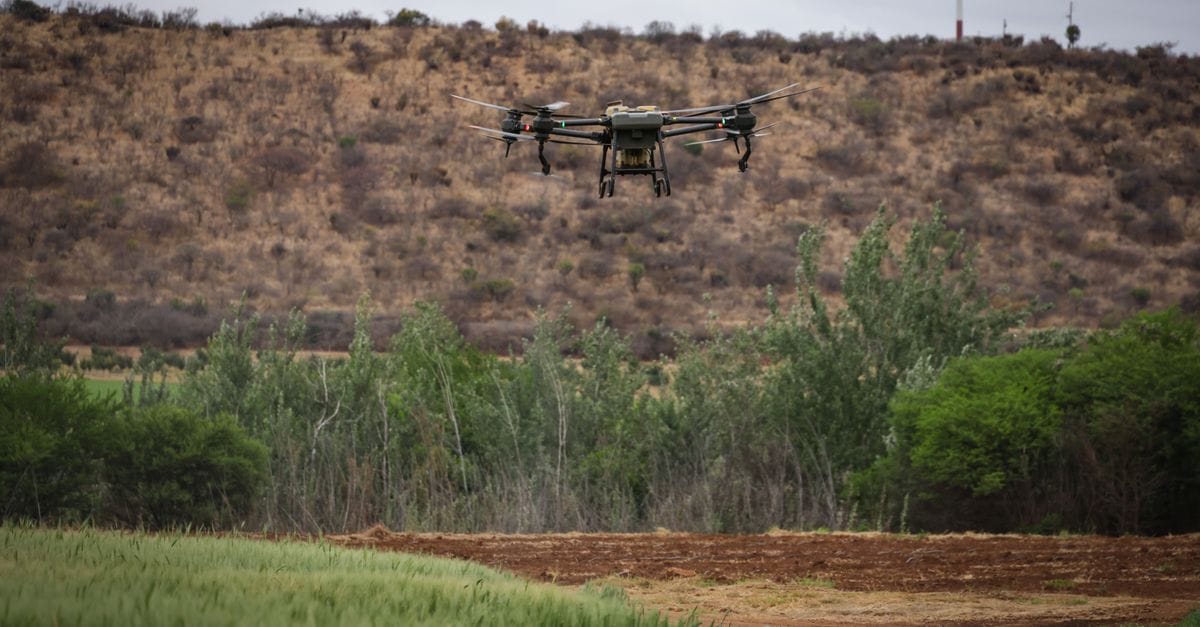
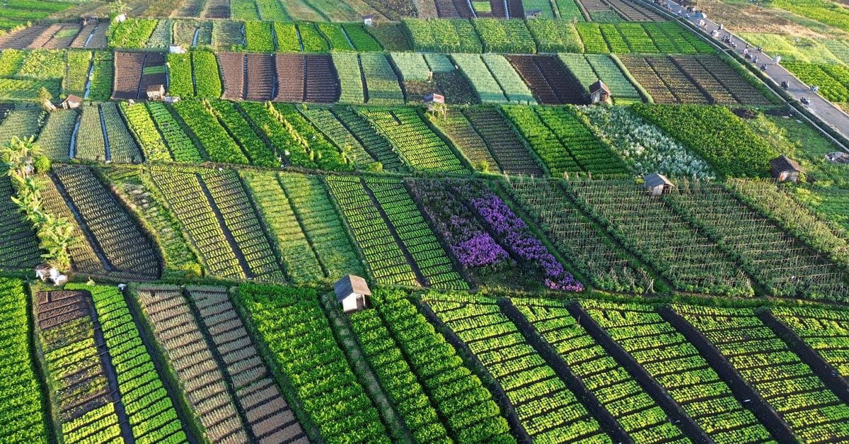
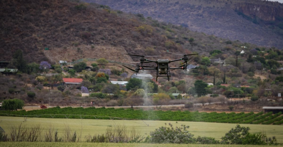
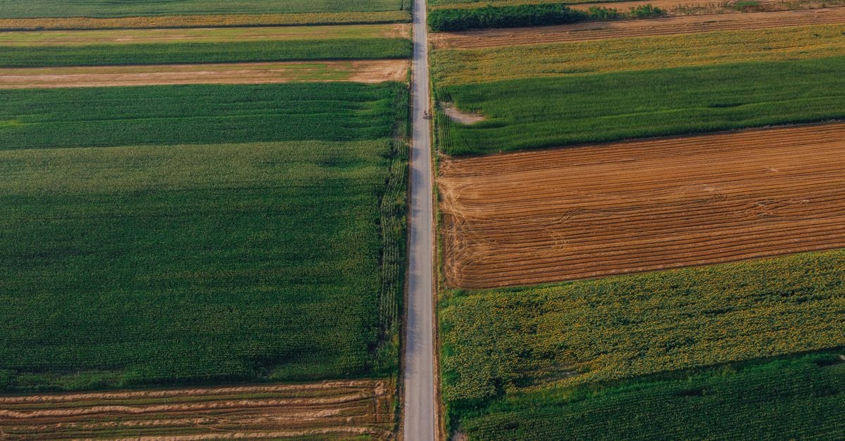
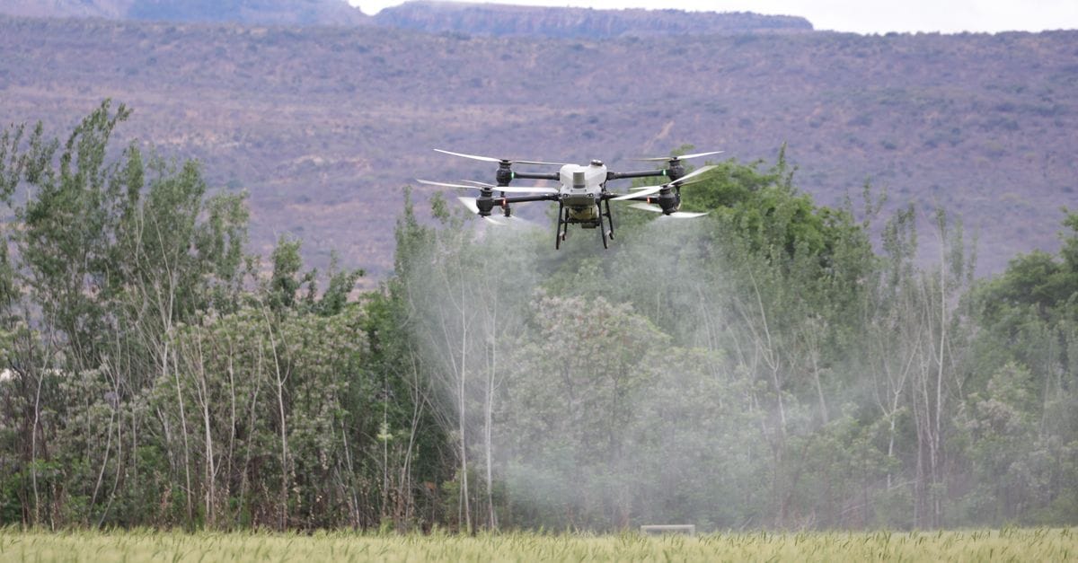
See Agriculture Technology in Action
Explore real-world applications of our drone imaging and crop monitoring solutions.
Trusted by Farmers Across the Country
See how CropSight Technologies is helping growers make smarter decisions and improve yields.
CropSight caught a nitrogen deficiency in my northeast field three weeks before I would've noticed it from the road. That early detection saved me at least 15 bushels per acre.

The imaging technology identified irrigation issues across 40 acres that were costing us thousands in water waste. The ROI paid for itself in one season.

Having drone data at my fingertips has completely changed how I scout fields. I can prioritize problem areas and spend my time where it matters most.

The detailed crop health reports help me stay ahead of pest pressure without overusing inputs. It's been invaluable for maintaining our organic certification.

CropSight's field intelligence gives me confidence in my decisions. The historical data comparison feature helps me learn what works best for each field year after year.

We manage over 500 acres and the drone surveys save us countless hours. The early disease detection alone has prevented major losses in two consecutive seasons.

Supporting Growers Across the Region
Our field specialists are ready to deploy drone technology and provide expert support throughout your growing season.
Central Valley Operations
2847 Agricultural Drive, Fresno, CA 93721Hours: Monday-Friday, 7:00 AM - 6:00 PM
Phone: (559) 555-0147
Services: Drone deployment, field analysis, grower consultations
Northern Region Office
1523 Farm Technology Parkway, Sacramento, CA 95834Hours: Monday-Friday, 7:00 AM - 6:00 PM
Phone: (916) 555-0293
Services: Imaging analysis, seasonal planning, technical support
Coastal Agriculture Hub
685 Harvest Lane, Salinas, CA 93901Hours: Monday-Saturday, 6:30 AM - 5:30 PM
Phone: (831) 555-0412
Services: Full CropSight Technologies suite, emergency field assessments
Frequently Asked Questions
Get answers to common questions about our drone technology and crop monitoring services.
What types of crops can CropSight Technologies monitor?
Our drone systems work with all major crops including corn, soybeans, wheat, cotton, vineyards, orchards, and specialty crops. The imaging technology adapts to different plant structures and growth patterns.
How often should I schedule drone flights over my fields?
Most growers benefit from bi-weekly flights during critical growth stages. We customize flight schedules based on your crop type, field size, and specific monitoring goals throughout the season.
What problems can your drones detect in my crops?
Our advanced imaging identifies pest infestations, disease outbreaks, nutrient deficiencies, irrigation issues, drainage problems, and plant stress before they're visible to the naked eye.
How quickly do I receive data after a drone flight?
Field data is processed and delivered within 24-48 hours. You'll receive detailed maps, analytics, and actionable recommendations through our easy-to-use online platform.
Do I need special equipment or software to view my field data?
No special equipment needed. Access all your field intelligence through any web browser or our mobile app. Data is stored securely in the cloud with historical comparisons available anytime.
Can your drones operate in all weather conditions?
We fly in most conditions but avoid high winds, heavy rain, and extreme temperatures to ensure data accuracy and equipment safety. We'll reschedule flights when weather isn't optimal.
How large of an area can you cover in a single flight?
Our drones efficiently cover 100-300 acres per flight depending on terrain and imaging requirements. We coordinate multi-flight missions for larger operations to ensure complete coverage.
Is drone monitoring cost-effective for small farms?
Absolutely. Early problem detection saves significantly on inputs and yield loss. We offer flexible packages for operations of all sizes, with pricing that scales to your acreage and monitoring needs.
Ready to Transform Your Crop Management?
Our team is here to answer your questions about CropSight Technologies and show you how our drone-based field intelligence can benefit your operation.